LOCATION PLAN
CLICK ON IMAGE TO ENLARGE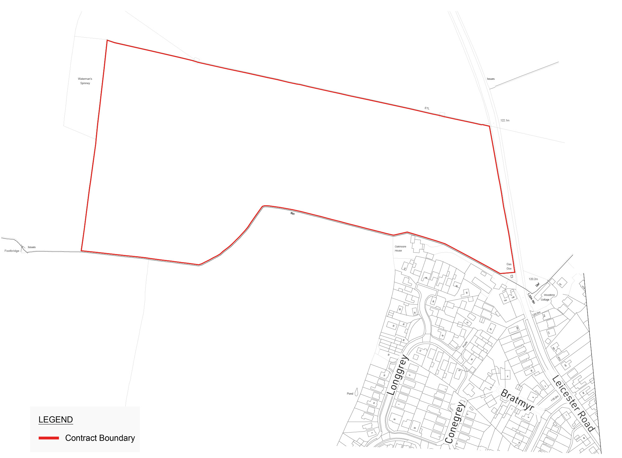
A single point of vehicular access will be gained from Leicester Road via a priority T-junction and provide access into the site. This will be located in close proximity to the existing village boundary. At the proposed site access location the existing speed limit is 60mph, the proposals include a speed limit reduction to 40mph along Leicester Road in the vicinity of the site. This will be supported through the inclusion of traffic calming features to ensure vehicles are travelling at reduced speeds when passing the site and entering Fleckney.
The site is entirely within Flood Zone 1 and has the lowest risk of flooding. Sustainable drainage systems (SuDS) will be implemented as part of the development to further manage water flows and attenuate surface water.
Ecological surveys will be undertaken on site to determine the level of biodiversity and habitats currently present on the land. A small area of hedgerow will be required to be removed to allow for access to the site. This will be mitigated by planting replacement hedgerows to provide an overall 10% net-gain in biodiversity.
No significant tree loss is proposed as part of the development and all trees will be retained and incorporated into proposals. The proposed development provides an opportunity to improve and increase tree cover in the local area.
Any development will retain field patterns and existing landscape features, which includes hedgerows that will contribute to local ecology. The established hedgerows, woodlands, and topography will screen much of the development and minimise visual impact. Key views have been observed across the site which are predominantly agricultural in nature with electricity pylons present along the site boundary. While extending Fleckney northward, the proposed scale aligns with the village’s existing character and will be seen within the context of the current settlement.
The site contains no designated heritage assets and there are none located in the surrounding area whose significance will be affected by the proposed development of the site. The site is also unlikely to contain any archaeological remains that will need to be preserved, however trial trenching will be undertaken across the site to understand the full archaeological potential prior to development starting.
We are aware of the electricity pylons which run along the northern border of the site and the high pressure gas pipeline which runs across the site from the north east to western boundary. Suitable easements will be incorporated as part of any development on the site and no built development is proposed within the easement of the pipeline.
CLICK ON IMAGE TO ENLARGE
The infographic below provides an illustration of the social and economic contribution made by the Barratt Group to people, places and nature for the financial year 2024.
The assessment was carried out by independent experts who analysed socio-economic impacts through the delivery chain for new housing based upon Barratt Developments datasets, published research and national statistics. All figures are based in the financial year ending 30th June 2024 and include joint venture home completions in which the Group has an interest.
In 2024, 100% of our developments actively contributed to community infrastructure. The Group totals are outlined to the right:
